Plants suited to where you live
A plant labelled "native" may not suit your area. WattleGrow lists plants by region. Horticulturists review which plants belong in which regions, and each listing shows whether a match has been verified or only reported by members.
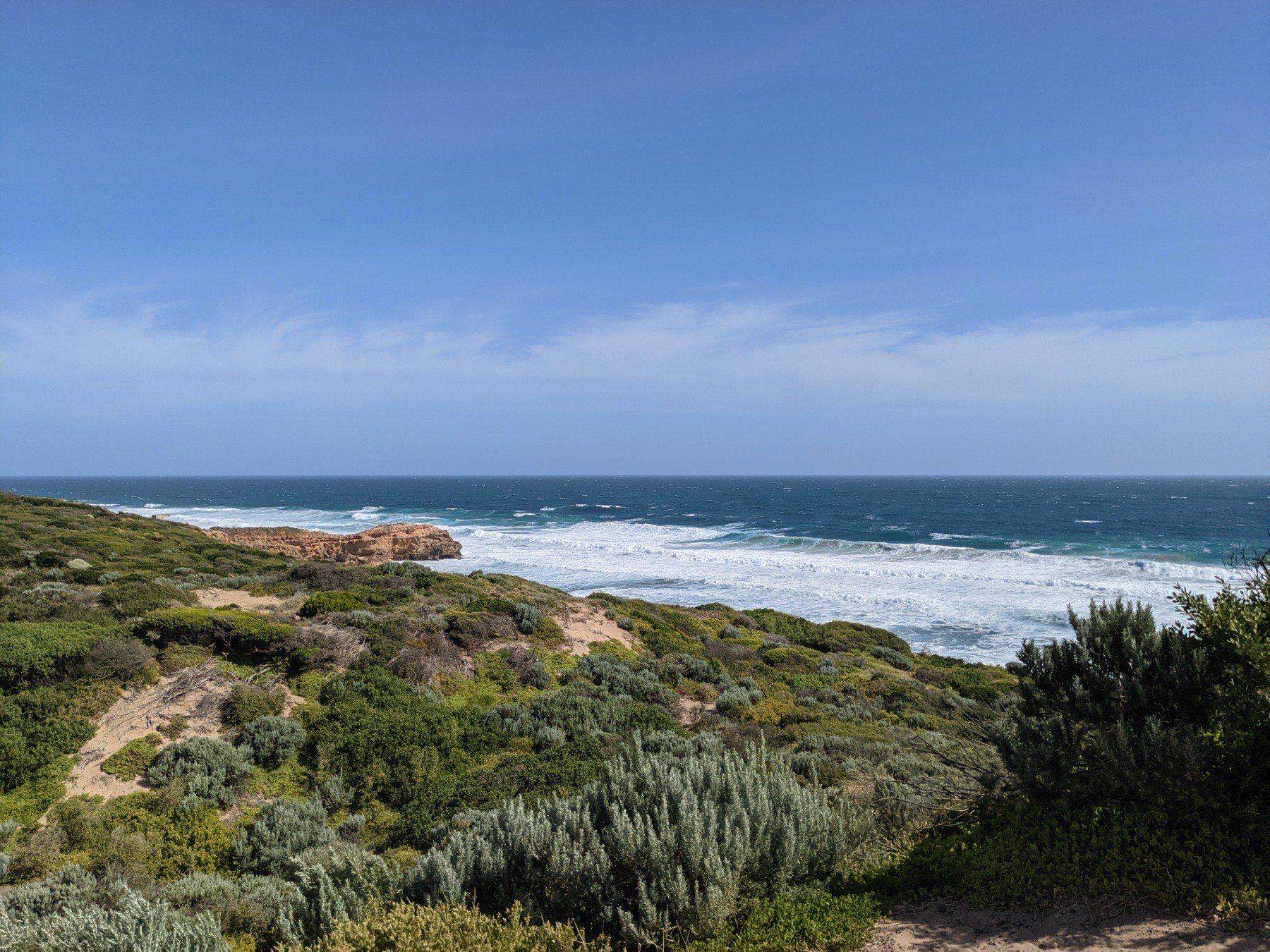
Coastal scrub above the back beach, Point Nepean. Photo: Sandeepparekh9, CC BY-SA 4.0.

Native, indigenous, endemic
"Native" means native to somewhere in Australia. A plant from Perth is native, and can still behave like a weed in Rosebud. "Locally indigenous" means it occurs naturally in your area, which is the standard that matters for a plant surviving in your garden. "Endemic" is narrower still: found in one area and nowhere else.
Junior Landcare puts it plainly: indigenous plants "occur naturally in a local area, making them uniquely suited to their environment", and "native plants are not considered to be indigenous when planted beyond their natural habitat". WattleGrow shows both labels.
One bioregion, many places
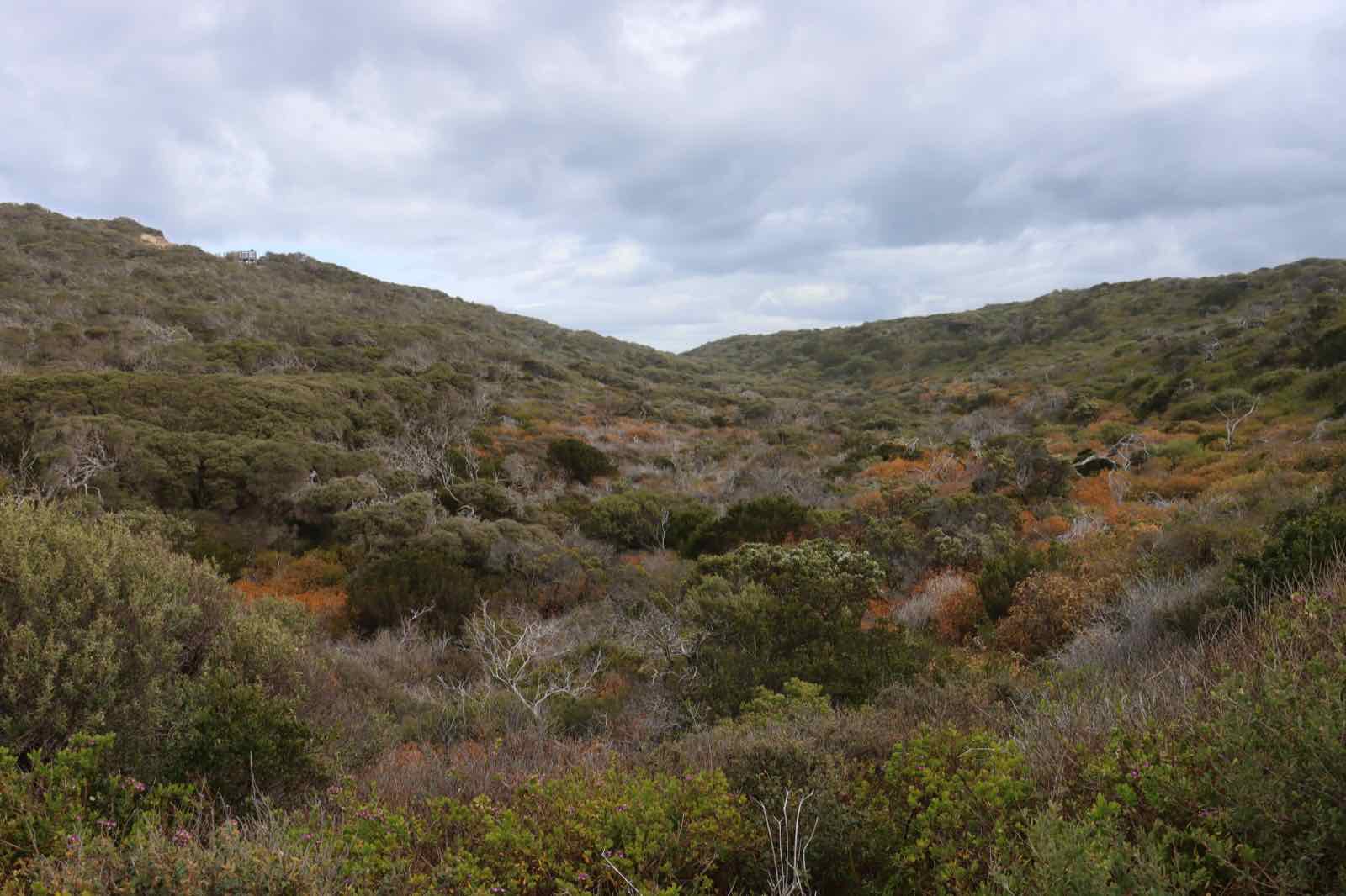

The whole Peninsula sits in the Gippsland Plain bioregion, but the Shire's survey mapped 45 vegetation classes across it, from coastal scrub on the Nepean dunes to tall forest in the hinterland gullies. A plant from one won't necessarily thrive in another. The largest classes by area:
- Grassy Woodland
- EVC 175
- 3,591 ha
- Lowland Forest
- EVC 16
- 3,211 ha
- Coastal Alkaline Scrub, including Coast Moonah Woodland
- EVC 858
- 2,927 ha
- Herb-rich Foothill Forest
- EVC 23
- 2,432 ha
- Damp Sands Herb-rich Woodland
- EVC 3
- 2,195 ha
- Swamp Scrub
- EVC 53
- 1,771 ha
- Coast Banksia Woodland
- EVC 2
- 682 ha
Mapped extent within the Shire, State of Biodiversity report (2018).
Plants of the Peninsula
A few of the species you'll see in the search, all locally indigenous.
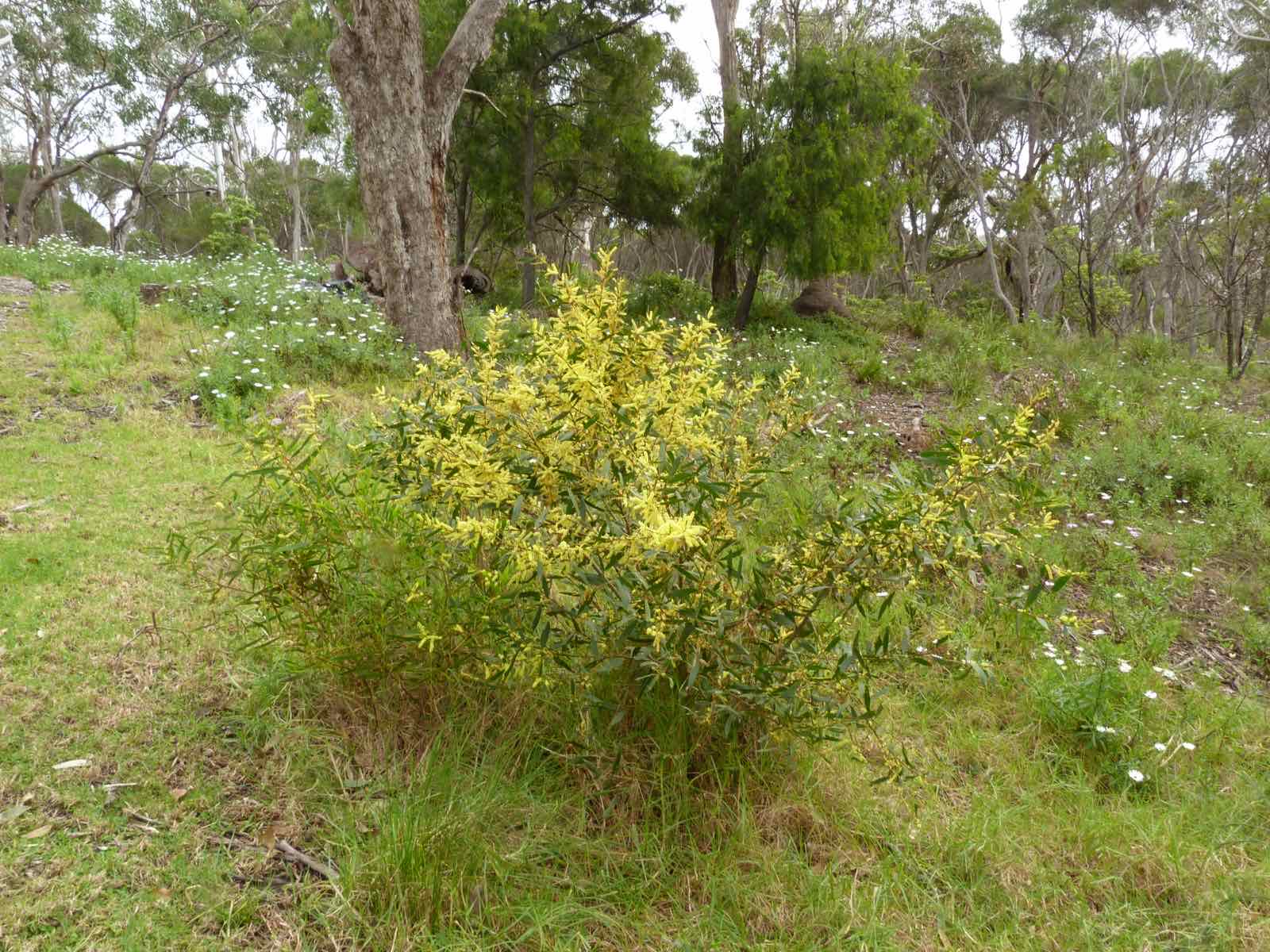
Acacia longifolia subsp. sophorae
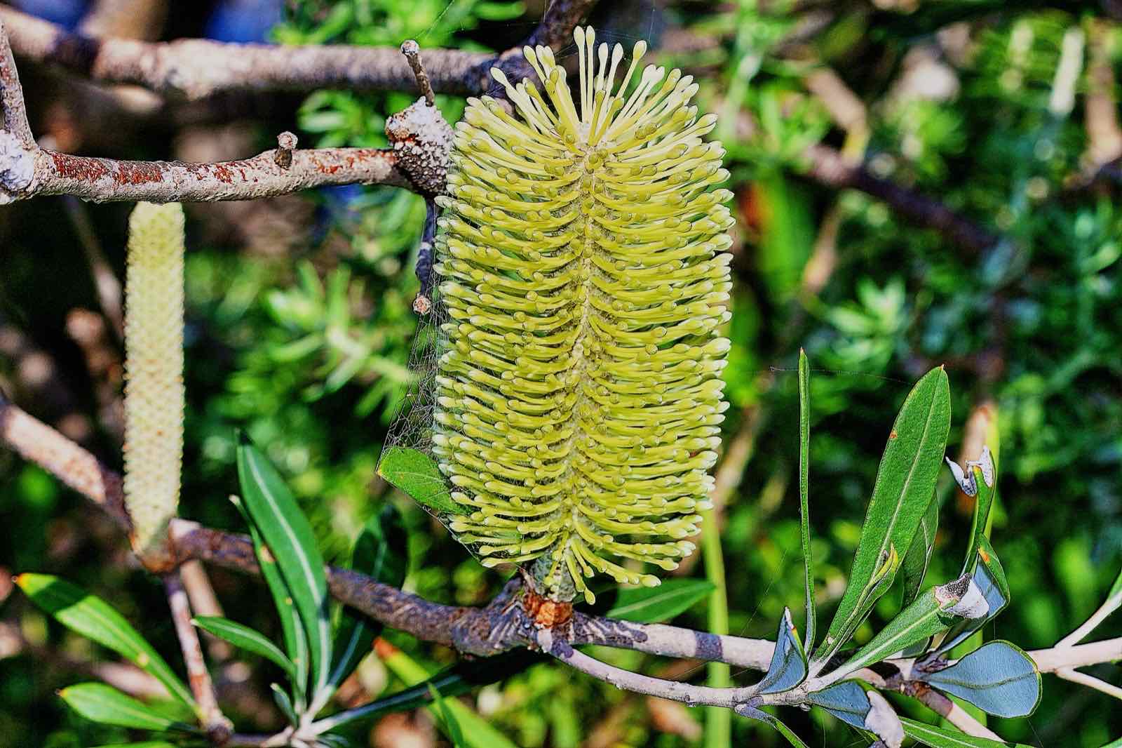
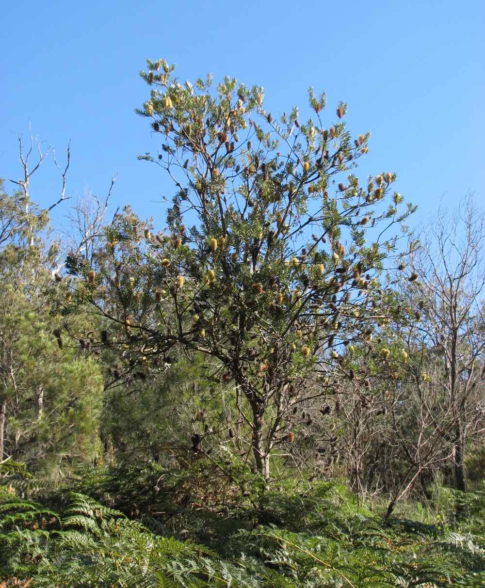
Banksia integrifolia
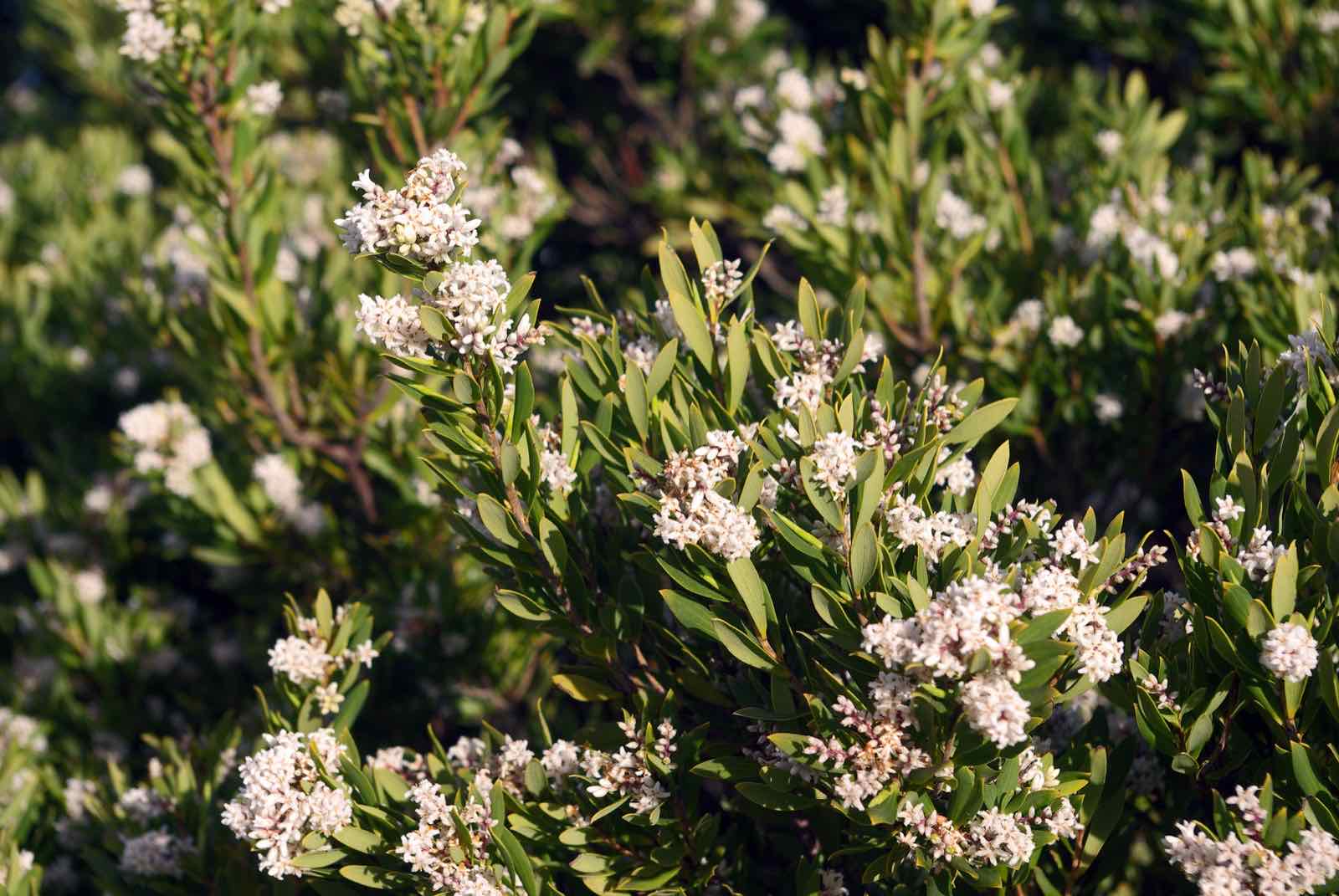
Leucopogon parviflorus
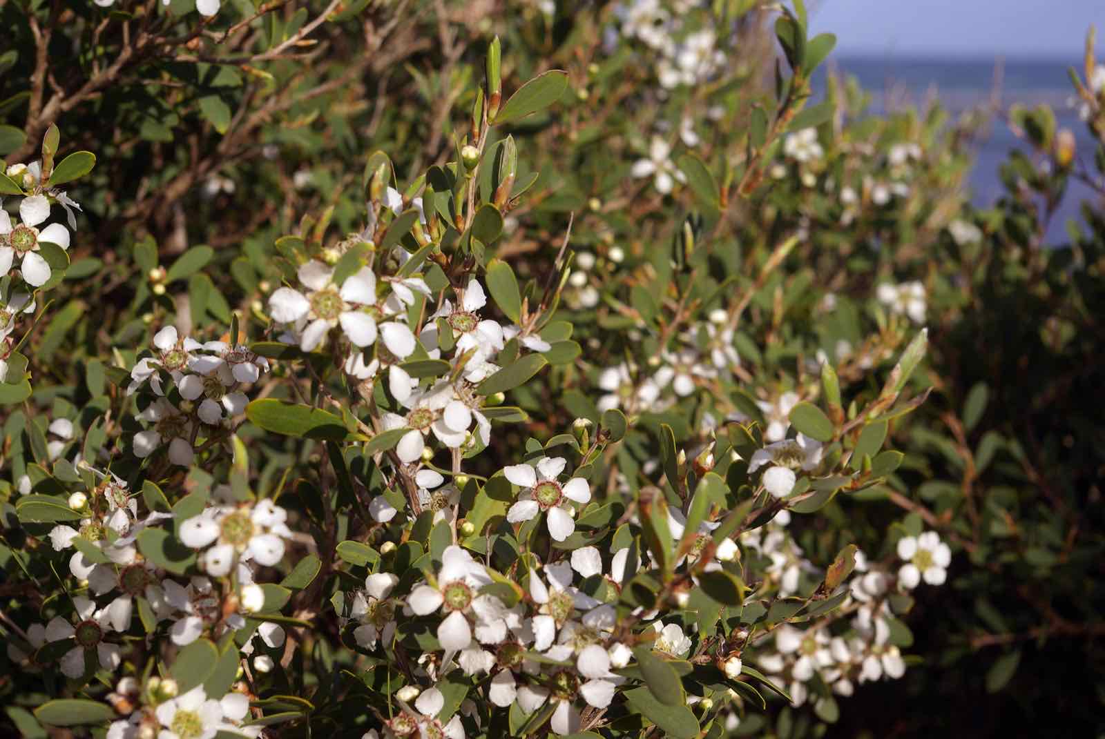
Leptospermum laevigatum
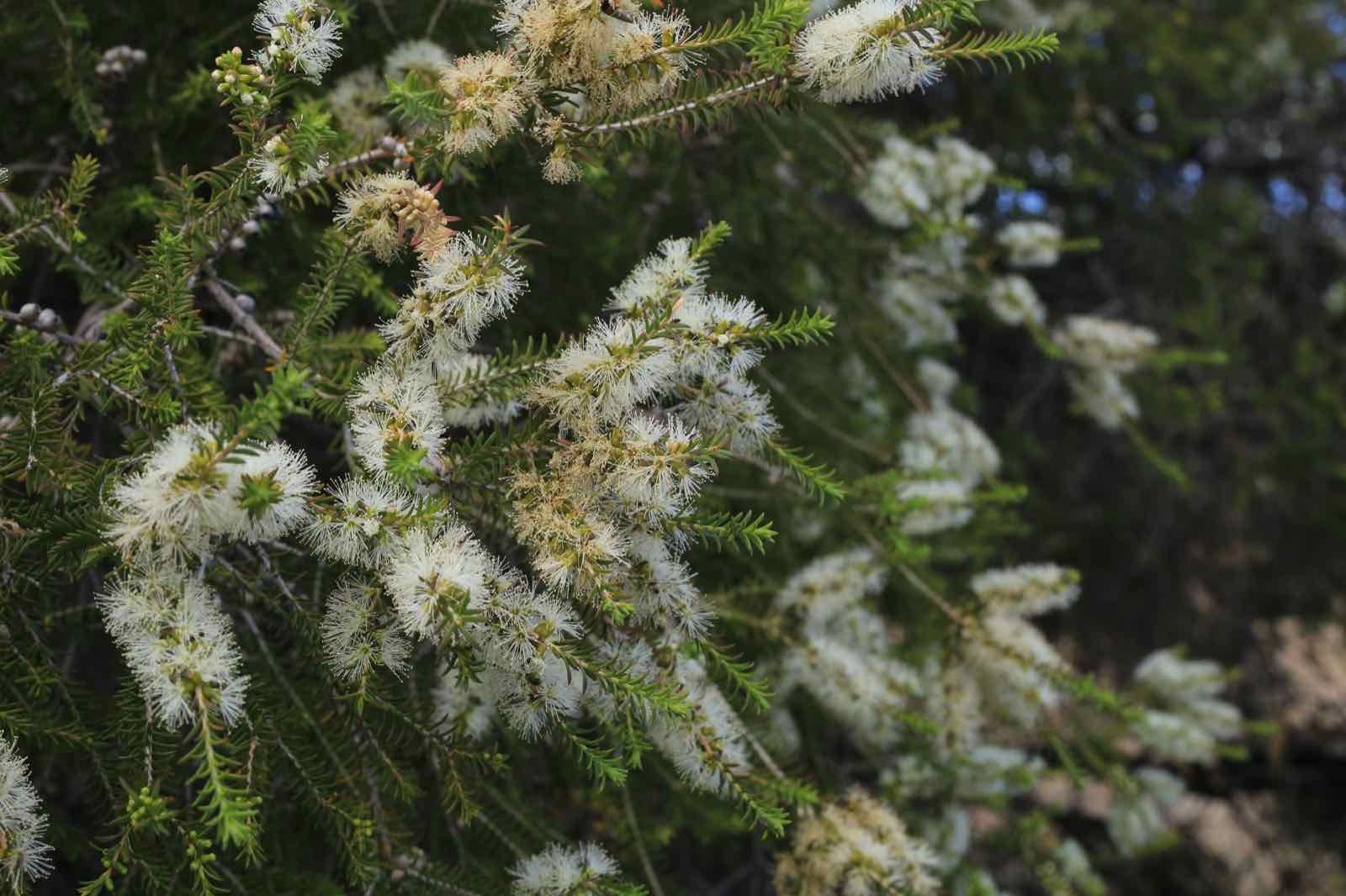
Melaleuca lanceolata
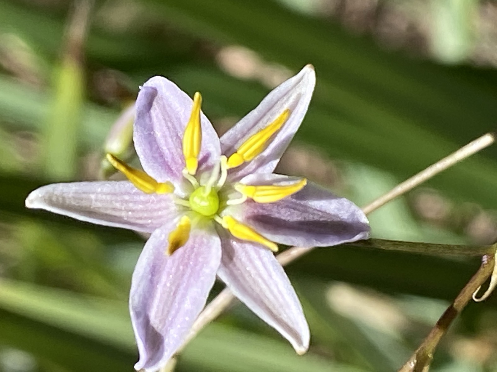
Dianella revoluta
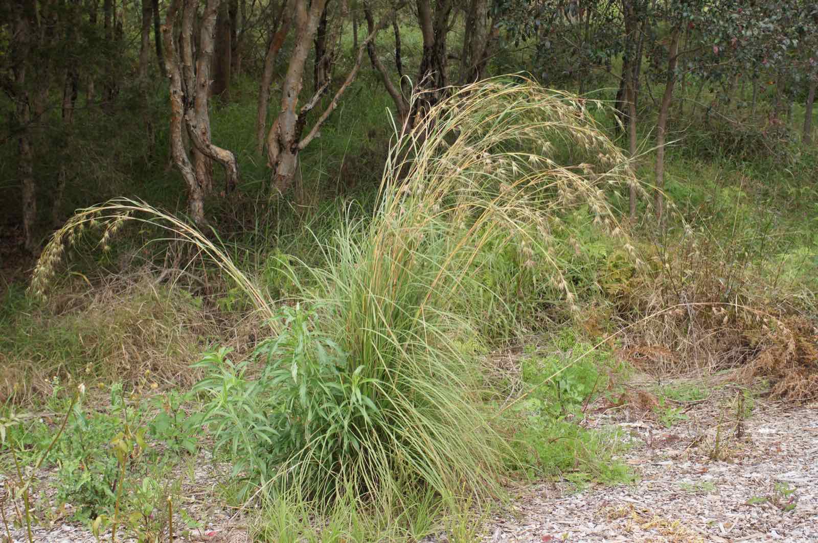
Themeda triandra
Photos: Donald Hobern (CC BY 2.0); Hyme852052 (CC BY-SA 4.0); Stephen Bain (CC BY-SA 3.0); Allthingsnative (CC BY-SA 3.0); Harry Rose (CC BY 2.0).
.jpg)
,_The_Esplanade,_Cronulla,_NSW_Australia.jpg)


.jpg)
Climate
A maritime climate buffered by Port Phillip, Western Port and Bass Strait: reliable winter-dominant rain, drier summers, and few extremes. Arthurs Seat casts a rain shadow, and the Shire's Biodiversity Conservation Plan notes rainfall has fallen by up to 100 mm a year since 1950.
- 731 mm
- mean annual rainfall at Mornington, 138 years of record
- 71 mm
- wettest month, June
- 42 mm
- driest month, February
- 14 to 25 °C
- mean daily maximum, July to February, at Cerberus
Monthly figures
| Month | mm |
|---|---|
| Jan | 44.6 |
| Feb | 42.2 |
| Mar | 48.4 |
| Apr | 62.7 |
| May | 69.4 |
| Jun | 71.1 |
| Jul | 68.7 |
| Aug | 70.4 |
| Sep | 70.5 |
| Oct | 68.6 |
| Nov | 60.6 |
| Dec | 53.7 |
| Year | 730.9 |
Plant in autumn
Warm soil and returning rain from April give roots the whole cool season to establish. Planting calendar
Carry plants through the first summer
February is the driest month. A deep weekly soak in dry weather, and mulch to about 75 mm, gets a young plant through.
Expect your patch to differ
The bay side, the ocean side and the hinterland get different rain and wind. WattleGrow starts from your postcode and lets you adjust for your garden.
Soils
The Shire's soils fact sheet describes soils from three geological ages, and they change over short distances:
- Coast and south (Rosebud, Cranbourne-type sands)
- Grey sands, low fertility, acidic (pH 4.5 to 6)
- Nepean Peninsula dunes
- Calcareous, alkaline sand over limestone
- Red Hill and Main Ridge
- Deep red volcanic loam, fertile and well drained
- Moorooduc, Baxter, Langwarrin hinterland
- Grey loam over clay
A postcode narrows the field. WattleGrow then lets you adjust for your actual garden: sun, shade, moisture, exposure, and soil or pH where you know it.
Why it matters beyond your fence

About 30% of the Peninsula's native vegetation remains, and 57% of what remains is on private land. Gardens are a large share of the habitat that's left. The Shire's Gardens for Wildlife program gives residents a habitat assessment and a voucher for 15 indigenous tubestock plants from its own Briars Nursery, and its Local Native Plants Guide produces an indigenous plant list for any address.
Melbourne Water recommends local natives for "a more water-efficient garden" because they evolved for these conditions. Nobody publishes a percentage for that, and neither will we.
You can also
- Find a native alternative to an exotic plant in your garden.
- Check what to plant this month in your region.
- Report where a plant is growing well for you. A horticulturist reviews it.
- Read how we check plant information.
Launching soon
WattleGrow launches soon on the Mornington Peninsula. Sign up to get access when it opens.
Sources
- Mornington Peninsula Shire, State of Biodiversity report (2018)
- Mornington Peninsula Shire, Biodiversity Conservation Plan (2019)
- Mornington Peninsula Shire, Common Ground fact sheet 3: Soils of the Mornington Peninsula
- Mornington Peninsula Shire, Gardens for Wildlife
- Mornington Peninsula Shire, Local Native Plants Guide
- Royal Botanic Gardens Victoria, VicFlora, Gippsland Plain bioregion
- Bureau of Meteorology, Climate statistics, Mornington (086079), Cerberus (086361), Cape Schanck (086017)
- Junior Landcare (Victorian Government-backed), Information sheet 3: What are indigenous plants?
- Melbourne Water, How you can save water at home